Escarpment at Highway W
Steven Dutch, Professor Emeritus, Natural and Applied Sciences, University of Wisconsin - Green Bay
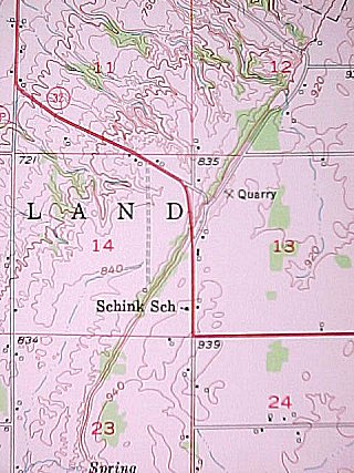 |
The highway, labeled Highway 32 on this old map, is now known as County W. This map overlaps the locality map of the Birch Creek Embayment. Note the broad apron of unconsolidated deposits west of the escarpment and the broad flat upland at about 840 feet elevation. Why does the dissection appear to become greater northward along the debris apron? |
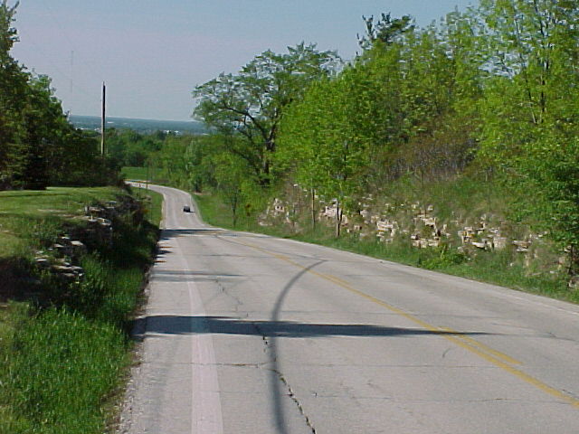
Looking north along County W down the cut. The flat upland is visible in the distance.
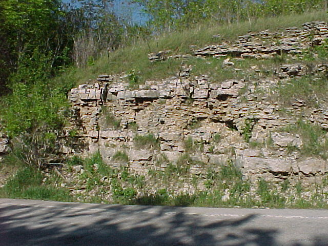
A view of the outcrops. Cherty horizons alternate with more massive dolomite.
Return to Geology of Wisconsin Index
Return to Geologic Localities Index
Return to Professor Dutch's Home Page
Created 24 May 2000, Last Update 24 May 2000